Stay informed
SIWI newsletter
Receive SIWI’s latest news, events, reports and jobs directly in your inbox.
You can unsubscribe at any time.

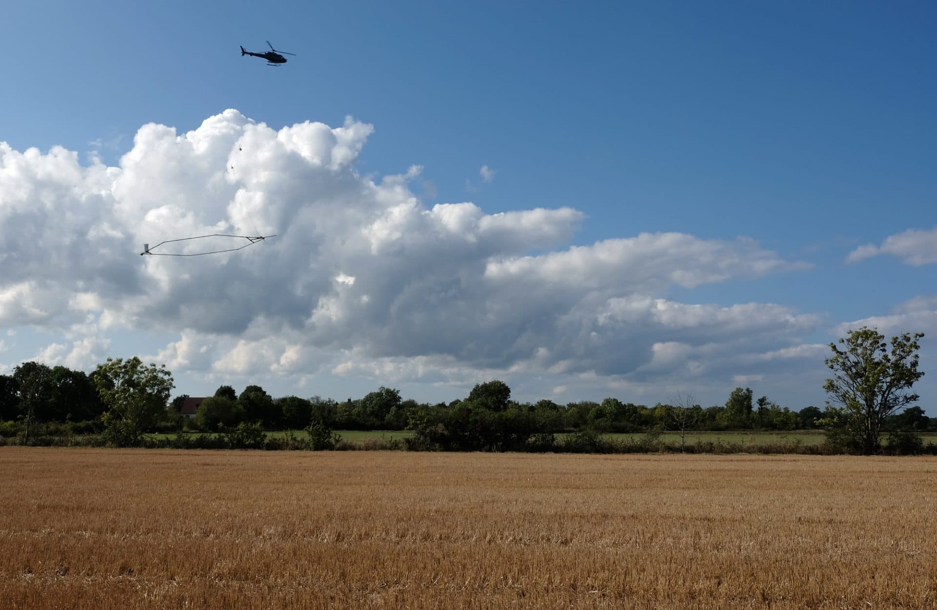
Groundwater is the world’s most abundant freshwater resource and provides nearly half of the world’s population with drinking water. It is also used for irrigation and in industrial processes, and stabilizes soil in urban areas. In Sweden, about half of the water supply is based on groundwater, and in Denmark nearly 100 per cent is based on groundwater.
To ensure that groundwater is used in a sustainable manner, it is necessary to map, monitor and protect groundwater aquifers. Denmark initiated a national groundwater mapping programme in 1998 with the aim to map the location of the Danish aquifers, the extent of their distribution and interconnection, as well as to identify particularly vulnerable areas to safeguard sufficient supplies of clean groundwater.
This unique mapping programme led to the development of novel methodologies and techniques for efficient mapping of high resolution of large areas. The large round of investigations was concluded in 2015 but extensions are on-going. Sweden has applied the developed approach to aquifer mapping in selected parts of the country, with adaptations for Swedish conditions, and the concept can also be applied in other parts of the world.
The SWH Multi Stakeholder Group on Groundwater invites you to this open, hybrid seminar. Stakeholders from Swedish and Danish government agencies and academia will present the latest in the field on groundwater mapping, share good examples and discuss ways ahead for gathering the information required for a long-term sustainable management of the groundwater resources.
10:00-12:10 Presentations:
(Short break)
12:15-13:15 Lunch (For onsite participants only)
13:00-14:00 Open discussion on needs and ways ahead
Lecture room M:D, M-huset, LTH/Lunds universitet, Ole Römers väg 1, Lund
Swedish Water House
Engineering Geology/Profile Area Water LTH/Lund University